This app is designed to provide maximum comfort in the field of topographic survey.
Help & support, Tutorial: https://www.facebook.com/media/set/?set=a.616801621782123.1073741828.548972571898362&type=3
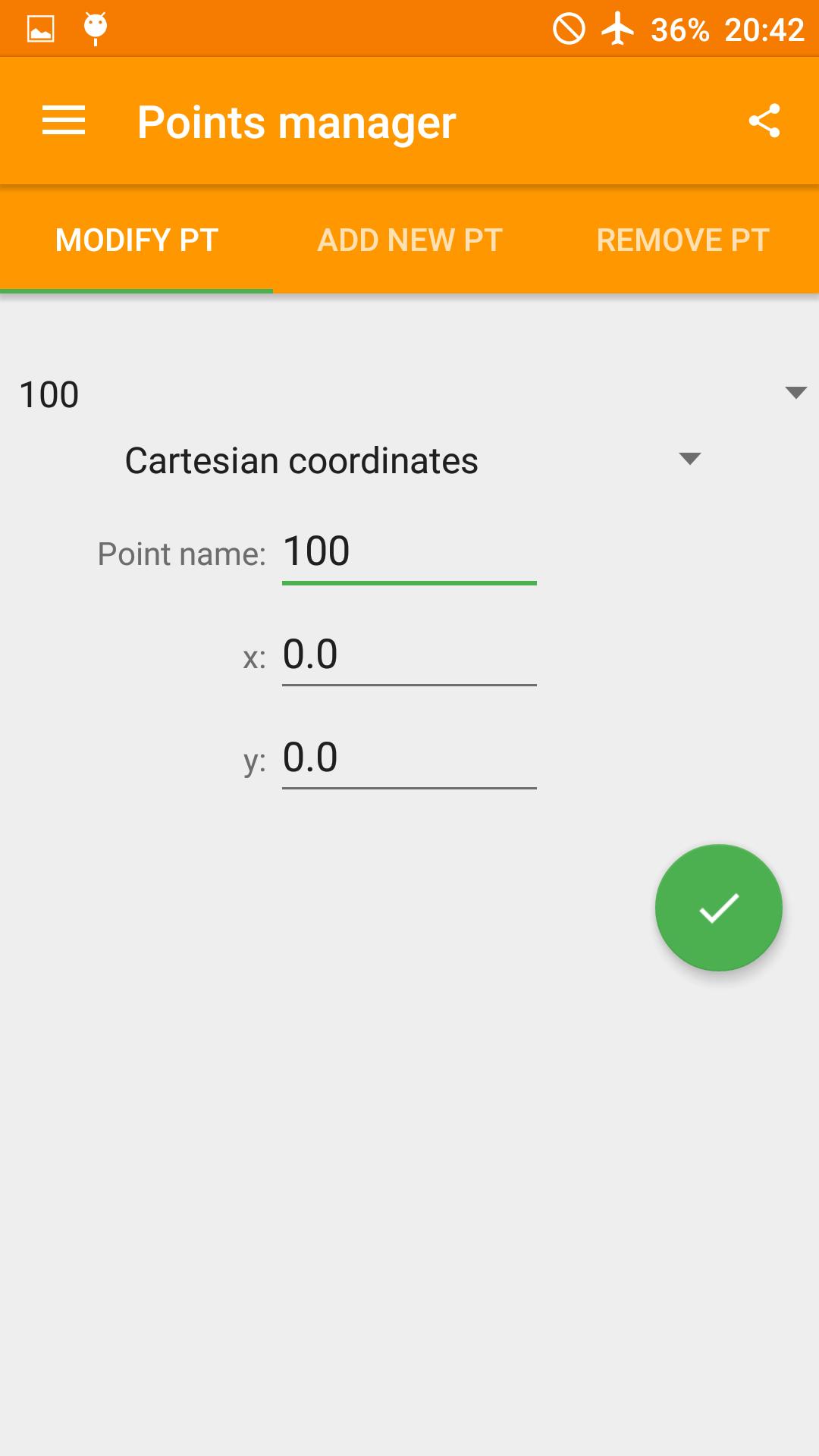
What allows you to do is :
- AutoCAD file export with preconfigured layers
- PDF/JPEG export/direct print of a data table with the drawing
- Import and export table in CSV format
- Manage points and input polar/Cartesian/GPS coordinates
- Create a preview of the scaled drawing
- Draw continuos and dashed lines
- Calculate sides, area, perimeter, angles and azimut of a triangle (the users just select three created points)
- Grad, deg, d°m's" or rad as angle unit supported
- Create and save projects
- Metro design
Facebook page: https://www.facebook.com/appsurveyorplus/timeline
Latest Version
3.2.21Uploaded by
အနက္ေရာင္ ႏွင္းဆီး
Requires Android
Android 4.0.3+
Category
Free Tools AppContent Rating
Everyone
Report
Flag as inappropriateLast updated on Feb 26, 2018
- Bugfixes


APKPure - A multi-platform app store primarily focused on Android, providing extensive app-related content. Discover the app you want easier, faster, and safer, with quick and efficient downloads and installations.


