Use APKPure App
Get Surveyor Plus old version APK for Android
Create, save and export projects based on the coordinates of topographic survey.
This app is designed to provide maximum comfort in the field of topographic survey.
Help & support, Tutorial: https://www.facebook.com/media/set/?set=a.616801621782123.1073741828.548972571898362&type=3
What allows you to do is :
- AutoCAD file export with preconfigured layers
- PDF/JPEG export/direct print of a data table with the drawing
- Import and export table in CSV format
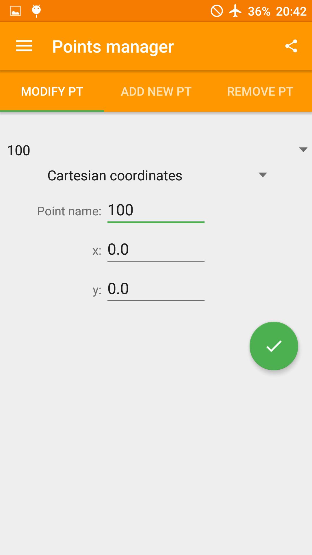
- Manage points and input polar/Cartesian/GPS coordinates
- Create a preview of the scaled drawing
- Draw continuos and dashed lines
- Calculate sides, area, perimeter, angles and azimut of a triangle (the users just select three created points)
- Grad, deg, d°m's" or rad as angle unit supported
- Create and save projects
- Metro design
Facebook page: https://www.facebook.com/appsurveyorplus/timeline
Last updated on Feb 26, 2018
- Bugfixes
تازہ ترین ورژن
![]() 3.2.21
3.2.21
اپ لوڈ کردہ
အနက္ေရာင္ ႏွင္းဆီး
Android درکار ہے
Android 4.0.3+
کٹیگری
رپورٹ کریں


Discover what you want easier, faster and safer.

Surveyor Plus
3.2.21 by B01 software
Feb 26, 2018