Google Earth brings a realistic globe to your screen so you can move from a world view to a single neighborhood with smooth zoom controls. It helps you explore places, learn with guided stories, and build custom maps to share with others. You can browse curated collections and discover new locations with a simple tap. The Google Earth app works across devices, so your saved places and projects stay with you. Download Google Earth APK latest version to start exploring, learning, and creating maps without barriers.
Google Earth features
Photorealistic 3D cities and terrain
Google Earth renders buildings, mountains, coastlines, and landscapes in detailed 3D so you understand places at a glance. You can tilt and rotate the map to view elevation and city skylines from different angles.
Street View for ground-level context
Step into 360° imagery to see streets, landmarks, and storefronts as if you were there. This helps Google Earth users preview a route, check meeting points, or explore famous sites before a trip.
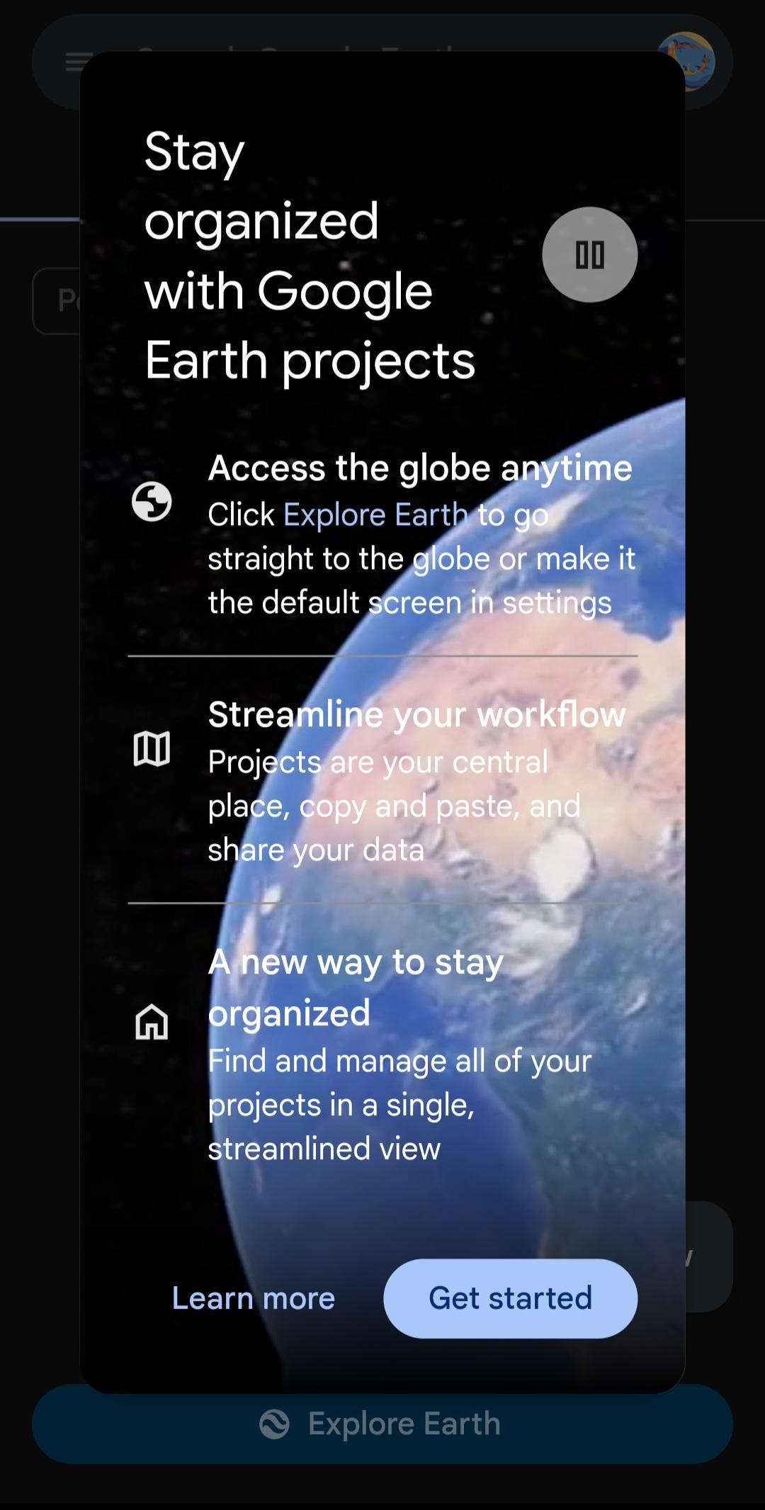
Create and collaborate on projects
You can add placemarks, draw lines and areas, attach photos and videos, and write notes. After you create a project, share it with collaborators and present it directly in Google Earth.
Voyager guided stories
Google Earth includes stories and quizzes from scientists, educators, and storytellers. You can open collections like Earth View, This is Home, and Carmen Sandiego to learn through interactive tours.
Fast place search and discovery
Search for any address, landmark, or natural feature and jump right to it. Then use the feeling lucky dice to discover new cultures, landscapes, and hidden gems you might never find on your own.
Access across devices
Use Google Earth online in your browser, on mobile with the Google Earth app, and on desktop with Google Earth Pro. Your saved places and projects sync so you can switch devices easily.
Voyager tours in the Google Earth app
Voyager is built for learning through stories. Open Voyager to find Earth View for striking landscapes, This is Home for cultural snapshots, and the Carmen Sandiego series for geography games. Tap a tour, then select Start tour to move step by step through curated stops. Teachers and families can use these tours to support lessons and spark curiosity about the world.
Storytelling with Google Earth for education and projects
Educators, students, and nonprofits use Google Earth to present research and local projects. You can pin study sites, add observations, link field photos, and narrate findings in place. After your map is ready, present it to a class or share a link so others can explore each stop in sequence. This approach helps turn data and notes into an easy-to-follow story on a globe.
How Google Earth builds 3D imagery
Google Earth combines satellite imagery, aerial photos, and computer vision to reconstruct buildings and landscapes in 3D. Multiple images are matched to estimate shape and height, which creates realistic scenes of cities and terrain. You can learn more about this process in Behind the Scenes of 3D Imagery on the official site for additional context about data quality.
How to use Google Earth on mobile
The Google Earth app is simple to start with. Follow these steps to search, explore, and create your first project after you download Google Earth.
Open the Google Earth app and allow location if you want local context. Use the search bar to find a city, address, or landmark.
Pinch to zoom, drag to pan, and two-finger rotate to change the viewing angle. Tap the compass to reorient the map.
After you find a place, tap the Street View thumbnail where available to enter 360° imagery. Move along the road by tapping the arrows.
Then open Projects from the menu, tap New project, and add your first placemark. Give it a title, description, and optional photo or video.
So you can share or present your project, add more places in order. Tap Present to show each stop in sequence within Google Earth.
Download Google Earth and start exploring
Google Earth helps you explore places, learn with guided tours, and build simple map stories. Download Google Earth APK latest version on APKPure and view the planet with detailed imagery and interactive 3D scenes.
Official resources:
FAQs
Is Google Earth a free app?
Yes, Google Earth is free to use on mobile and web. Google Earth Pro on desktop is also available at no cost, which helps with advanced printing and data tools.
Can you see someone's house in real time on Google Earth?
No, Google Earth does not show real-time satellite images of homes or streets. Imagery is captured on past dates and updated periodically. For ground-level views, you can use Street View to see photos taken at specific times.