下載 APKPure App
可在安卓獲取Earth 3D的歷史版本
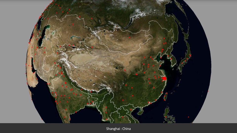
地球與主要城市的3D模型
A 3D map of earth. Shows national borders and major cities.
The map is relatively low-resolution due to memory constraints on Android devices.
Image from http://visibleearth.nasa.gov/
Shows 408 world cities
-most capital cities
-many major cities (based on population)
Requires OpenGL 2
Made with JME3, see jmonkeyengine.org
Last updated on 2017年04月19日
Fixed rendering bug in Android Nougat, UI improvements for higher-resolution devices.


Earth 3D
2.2 by Ben Papacek
2017年04月19日