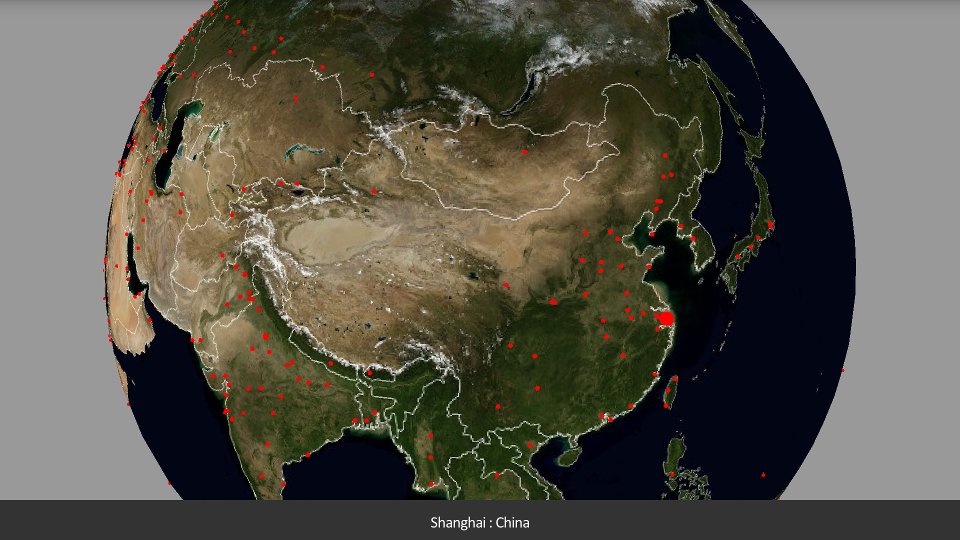
A 3D map of earth. Shows national borders and major cities.
The map is relatively low-resolution due to memory constraints on Android devices.
Image from http://visibleearth.nasa.gov/
Shows 408 world cities
-most capital cities
-many major cities (based on population)
Requires OpenGL 2
Made with JME3, see jmonkeyengine.org
Latest Version
2.2Uploaded by
Cabdimahad Yu
Requires Android
Android 4.1+
Category
Free Education AppContent Rating
Everyone
Report
Flag as inappropriateLast updated on Apr 18, 2017
Fixed rendering bug in Android Nougat, UI improvements for higher-resolution devices.


APKPure - A multi-platform app store primarily focused on Android, providing extensive app-related content. Discover the app you want easier, faster, and safer, with quick and efficient downloads and installations.


