Scan Date:Jan 12, 2024
Show More
Topography On the Fly is a suite of land surveying tools. It allows you to have complex surveying calculations on the field quickly with maximum accuracy. The design is as simple as needed under work pressure. The advantage is that can be used only with a simple total station or additionally with more complex instruments and gps.
Angular units : gradians (default) and decimal degrees (degrees only in Distance/Azimuth).
Task list:
Direct geodetic problem
Inverse geodetic problem
Simple forward intersection
Two points resection – Free station
Simple resection
Inaccessible points
Line-line intersection
Line-circle intersection
Azimuths intersection
Tacheometry
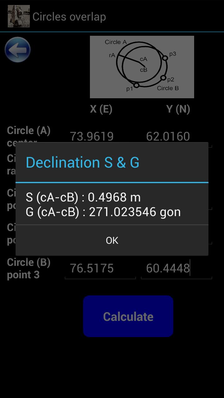
Circles overlap
Trigonometric leveling
Great tool for land surveyors, civil engineers, topographers and land engineers.
Download also our free application:
"Geodetic NET" from Google play
https://play.google.com/store/apps/details?id=com.GeodeticNET&hl=en
"Surveying In the Field" from Google play
https://play.google.com/store/apps/details?id=com.Surveying.IntheField&hl=en
"Topographia Classic" from Google play
https://play.google.com/store/apps/details?id=com.Topographia.Classic&hl=en&gl=US
Don't forget to rate this app and send us a feedback.
Latest Version
9.07.12Uploaded by
Tasha Yap
Requires Android
Android 5.0+
Category
Free Tools AppContent Rating
Everyone
Security Report
Report
Flag as inappropriateLast updated on Nov 5, 2023
Minor bug fixes and improvements. Install or update to the newest version to check it out!


APKPure - A multi-platform app store primarily focused on Android, providing extensive app-related content. Discover the app you want easier, faster, and safer, with quick and efficient downloads and installations.


