Use APKPure App
Get Survey360 old version APK for Android
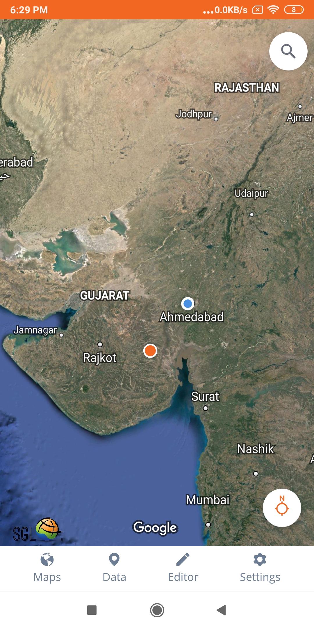
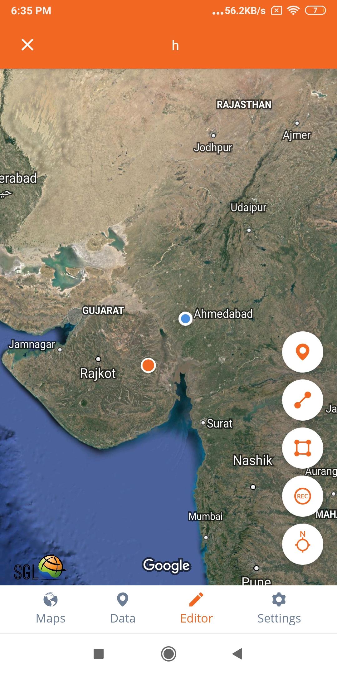
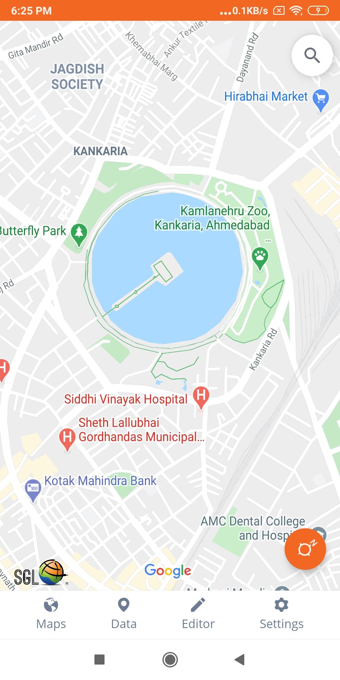
See your GPS position and draw points, line and polygons on your maps.
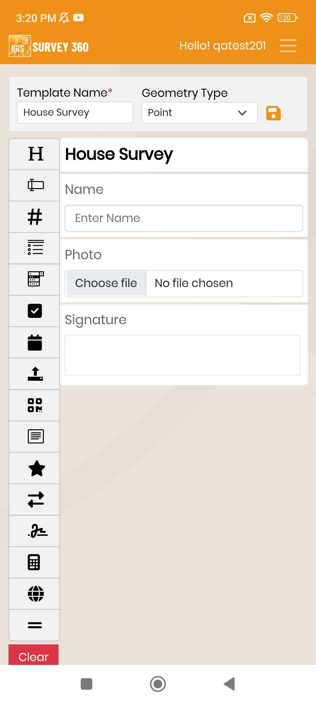
See your GPS position and draw points, line and polygons on your maps. Collect field data and notes related to a location, attach a photo and fill custom properties and attributes. 2D visualization of maps.
Display offline maps generated with IGiS Desktop. The app supports GeoJSON and MBTiles formats natively. Survey Processes are streamlined with auto-data collection also have integrated Form-builder to create survey form. Maps can come from tile servers with OGC WMTS, TileJSON or XYZ tiles. Choose various base maps like street and satellite. It is easy to share the data with other people and collaborate! Perfect for mobile data collection for GIS and surveys.
Last updated on Feb 28, 2024
- Import and Export GeoJSON
- Bug fixes
Latest Version
![]() 6.0.2
6.0.2
Uploaded by
محمد العراقي
Requires Android
Android 5.0+
Available on
![]()
Category
Report


Discover what you want easier, faster and safer.

Survey360
6.0.2 by Scanpoint Geomatics Ltd
Feb 29, 2024