Record track using the position of GPS satellites.
Many map layers - roadmap, satellite, openstreetmap, cycle etc.
Can add custom track points with photos.
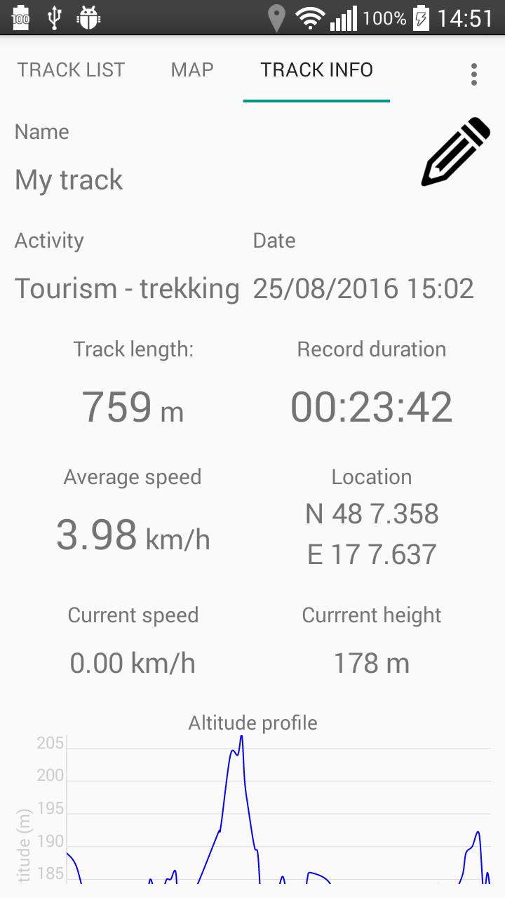
Track info - average speed, length, duration, altitude etc.
Export to GPX - long click on item in list
Ostatnia Wersja
1.2Przesłane przez
Diaa Yehia
Wymaga Androida
Android 4.0.3+
Kategoria
Darmowe Mapy i nawigacja AplikacjaOcena treści
Everyone
Last updated on Aug 23, 2018
Add to preferences the possibility to turn off the beep sound when GPS signal is lost




APKPure - Wieloplatformowy sklep z aplikacjami skupiający się głównie na systemie Android, zapewniający szeroki wybór treści związanych z aplikacjami. Odkrywaj poszukiwane aplikacje łatwiej, szybciej i bezpieczniej, z szybkim i wydajnym pobieraniem oraz instalacją.