Taking photograph a waypoint/object then add UTM coordinates or geographical location. (Support collecting data for Civil Surveyor, LAND SURVEYOR, Civil Engineer, Environmental Engineer, Transportation/Traffic Engineer, GIS Engineer)
The typical functions of UTM Camera:
★ UTM Map Camera - Geo Camera: View your photos and their geo positions on a world map
★ UTM Map Camera - Geo Camera: Manage images with information: location, address, orientation, compass, magnetic fields,...
★ UTM Map Camera - Geo Camera: Automatically determine current position then calculate the coordinates of object on picture.
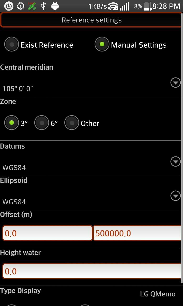
★ UTM Map Camera - Geo Camera: Support many common coordinates systems
★ UTM Map Camera - Geo Camera: you can add your private coordinates systems
Premium version: No ads, unlimited projects
Latest Version
1.0Uploaded by
Jorge Luis Rondón Rodriguez
Requires Android
Android 4.4W+
Category
Free Tools AppContent Rating
Everyone
Report
Flag as inappropriateLast updated on May 5, 2020
Fix bug in gridview. User can edit, delete image in project


APKPure - A multi-platform app store primarily focused on Android, providing extensive app-related content. Discover the app you want easier, faster, and safer, with quick and efficient downloads and installations.


