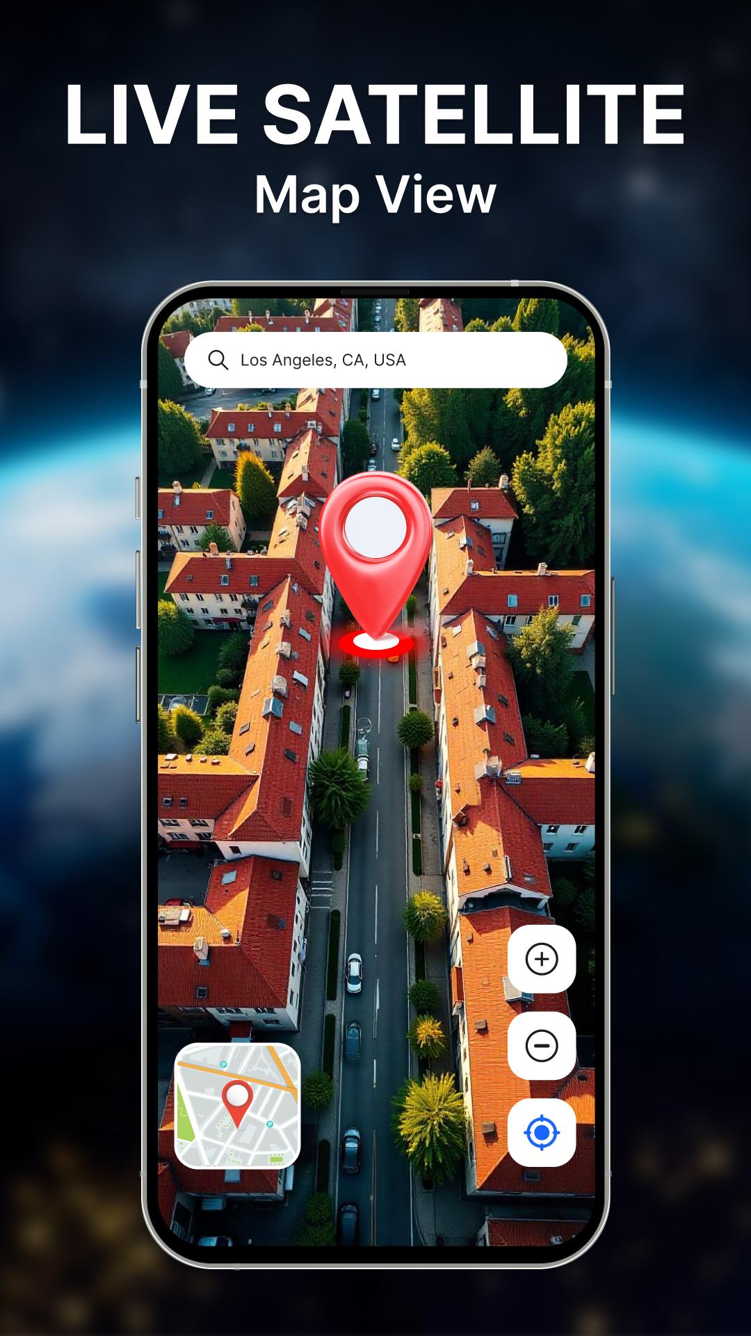
GPS Camera & Tracking Map: Geotag Photos & Location on Pictures
Easily capture and tag your moments with the ultimate geotagging app! GPS Tracking Map lets you add real-time location, date, time, and map coordinates to your photos, making it perfect for travelers, professionals, and photography enthusiasts.
🌟 Key Features:
📍 Effortless Geotagging
Automatically add GPS location, coordinates, and altitude to photos.
📅 Date & Time Stamps
Include real-time date and time on images.
Customize formats to suit your style or requirements.
🗺️ Advanced Geotagging Tools
Add detailed GPS data, addresses, and maps for professional use.
Preview and adjust photo settings for tailored documentation.
🚶 Ideal for Outdoor and Professional Use
Perfect for travel diaries, fieldwork, real estate, and research.
Document your adventures or projects with ease.
🌐 Share Geotagged Photos
Share images with GPS info via social media, email, or cloud storage.
📌 Who is it for?
Travelers: Document every journey with precise geotagged photos.
Professionals: Create accurate, location-stamped images for work or projects.
Adventurers: Save and share your outdoor memories.
📷 Download now and enhance your photography with precise geotagging.
Latest Version
1.1.2Uploaded by
Ferhat MuLteci
Requires Android
Android 7.0+
Category
Free Tools AppContent Rating
Everyone
Report
Flag as inappropriateLast updated on May 27, 2025
Minor bug fixes and improvements. Install or update to the newest version to check it out!


APKPure - A multi-platform app store primarily focused on Android, providing extensive app-related content. Discover the app you want easier, faster, and safer, with quick and efficient downloads and installations.


