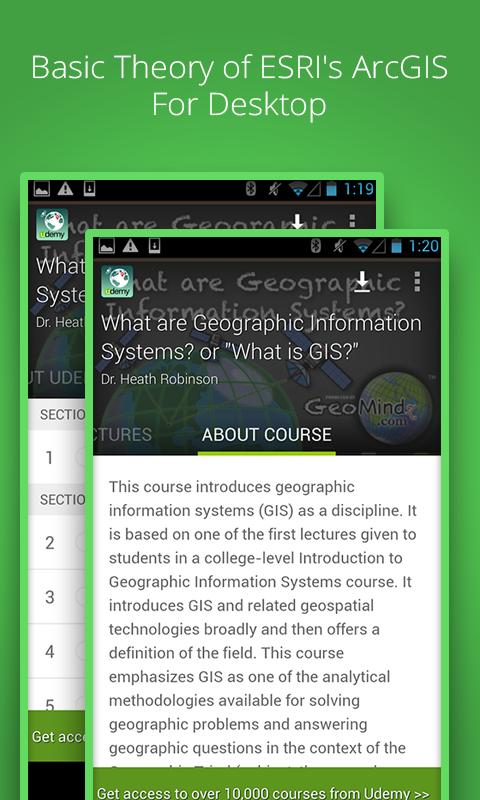
This course introduces geographic information systems (GIS) as a discipline.
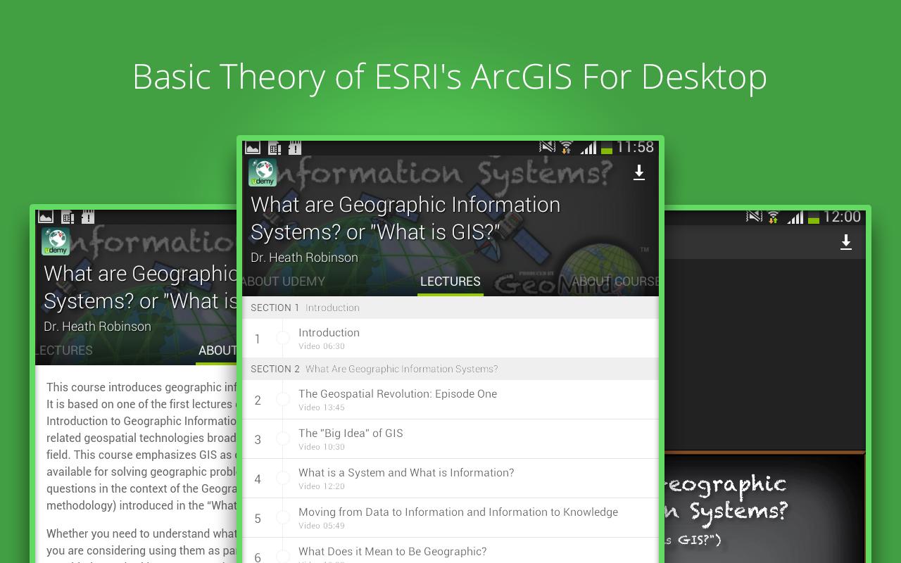
It is based on one of the first lectures given to students in a college-level Introduction to Geographic Information Systems course. It introduces GIS and related geospatial technologies broadly and then offers a definition of the field. This course emphasizes GIS as one of the analytical methodologies available for solving geographic problems and answering geographic questions in the context of the Geographic Triad (subject, theme, and methodology) introduced in the "What is Geography?" course.
Whether you need to understand what geospatial technologies are because you are considering using them as part of a larger project or if you are considering embarking on a more detailed study of GIS and perhaps even specializing in them, this course provides you with the necessary introduction.
This course also includes a basic introduction to ESRI’s ArcGIS for Desktop, an industry standard GIS software package. This section includes the basic introduction to the software package given to students in their first laboratory class in an introductory GIS course. It will familiarize you with basic operations in the software package and set the stage for your further study.
*WHAT YOU WILL LEARN*
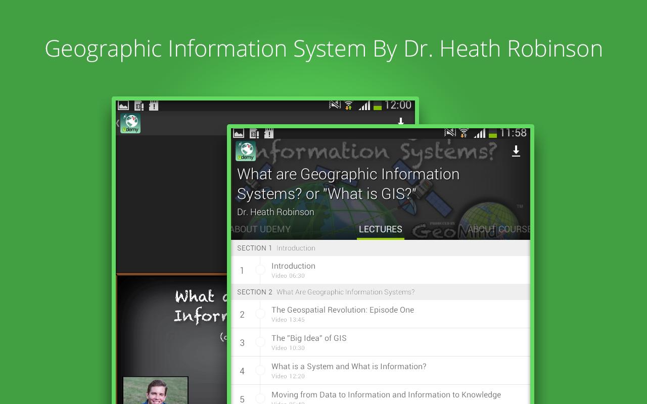
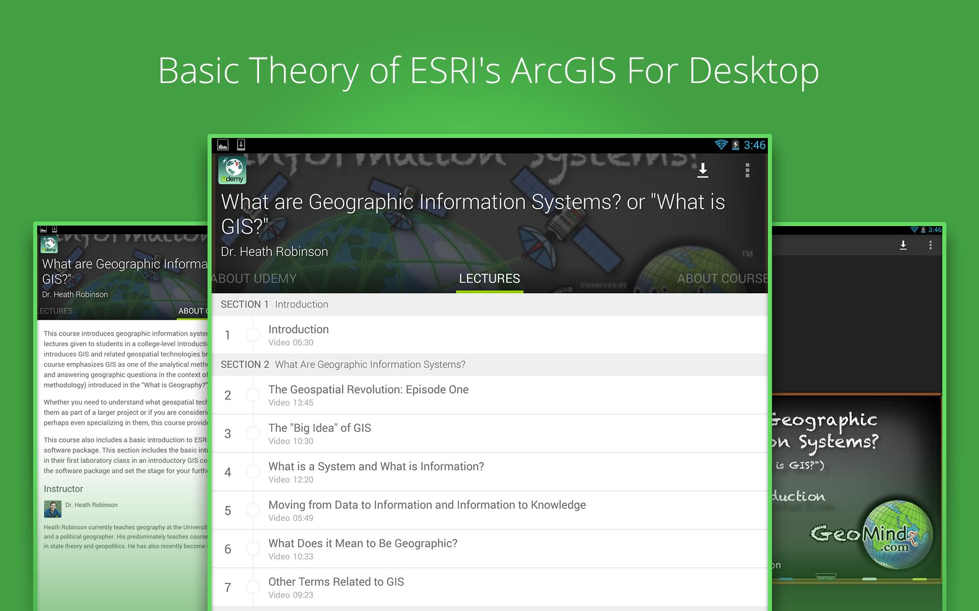
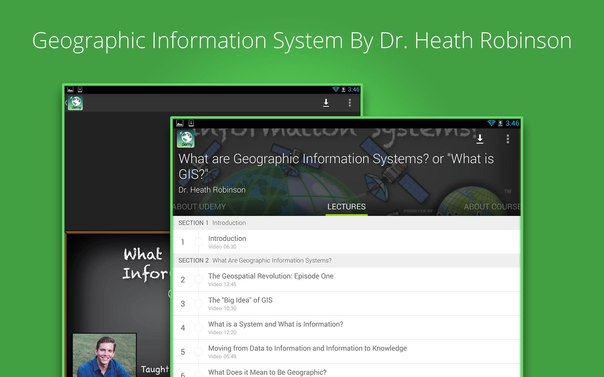
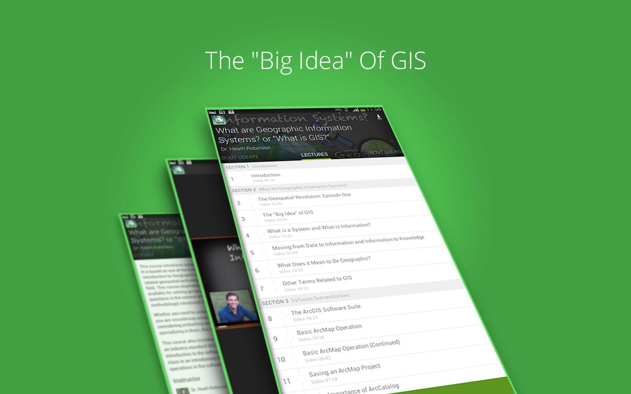
✔ The Geospatial Revolution: Episode One
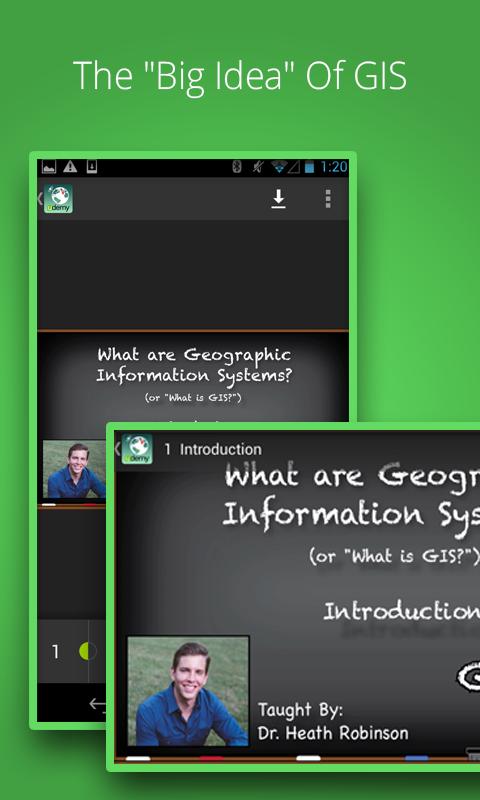
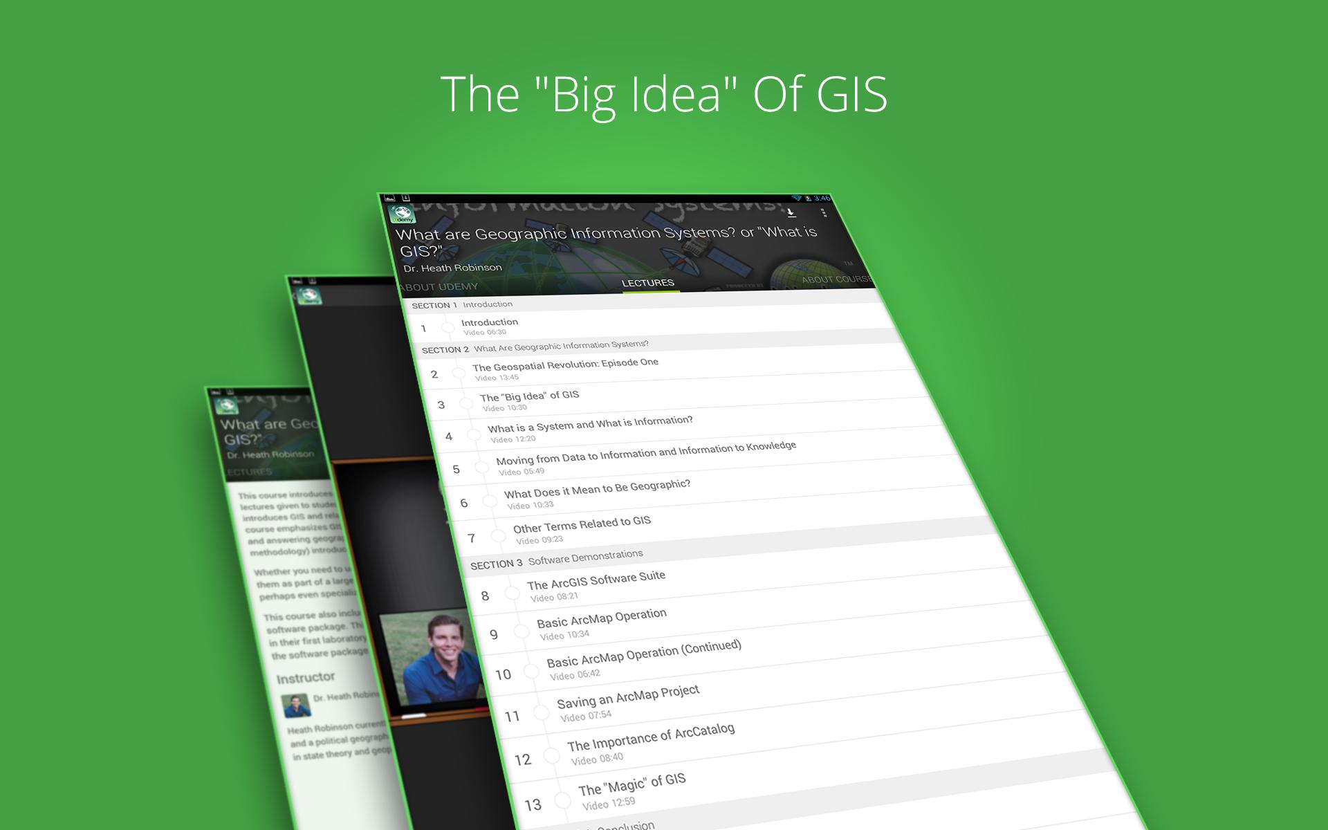
✔ The "Big Idea" of GIS
✔ What is a System and What is Information?
✔ Moving from Data to Information and Information to Knowledge
✔ What Does it Mean to Be Geographic?
✔ Other Terms Related to GIS
✔ Knowledge Check!
✔ The ArcGIS Software Suite
✔ Basic ArcMap Operation
✔ Basic ArcMap Operation (Continued)
✔ Saving an ArcMap Project
✔ The Importance of ArcCatalog
✔ The "Magic" of GIS
✔ Knowledge Check!
*FEATURES*
• Lifetime access to 15 lectures and 2 quizzes
• 2+ hours of high quality content
• A community of 2900+ students learning together!
• Watch courses on the go: video lectures, audio lectures, presentations, articles and anything inside your course.
• Watch courses in offline: Save courses for offline viewing so you can watch them while you're on a plane or subway!
*WHAT PEOPLE ARE SAYING ABOUT THIS COURSE*
"Given that we are surrounded by GIS systems in everyday life, this introductory exposure to the technology is something that will benefit most everyone. It's also an excellent starting point for those who find the field exciting enough to pursue further study."
-(Robert Bernat ) ★★★★★
"This is a great course for anyone who is curious about GIS and the applications of this tool. If anything, it merely whetted my appetite for additional GIS training."
-(Matthew Naas ) ★★★★★
Instructed By : Dr. Heath Robinson | Clinical Assistant Professor of Geography
Heath Robinson currently teaches geography at the University of Illinois where he is a geographic information scientist and a political geographer.
Install the "GIS Tutorials" app now and join over 4 million students who are already learning on Udemy.
Latest Version
1.9Requires Android
4.0 and up
Category
Free Education AppContent Rating
Unrated · Warning – content has not yet been rated. Unrated apps may potentially contain content appropriate for mature audiences only.
Report
Flag as inappropriateLast updated on Mar 6, 2015
Minor bug fixes and improvements. Install or update to the newest version to check it out!
APKPure - A multi-platform app store primarily focused on Android, providing extensive app-related content. Discover the app you want easier, faster, and safer, with quick and efficient downloads and installations.


