Package Name:com.mineflight.app
SHA-256:d633399d631ae06cd32c7db6eb6f26a11e603cfe66191797991a34902f6a37e7
Show More
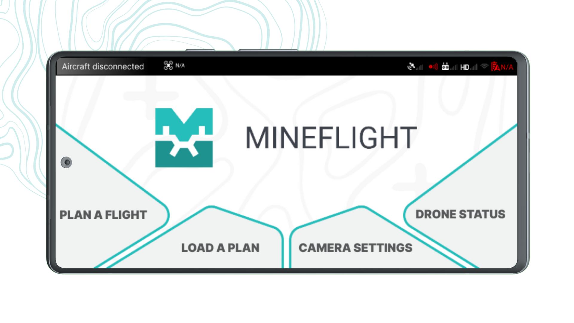
Datamine MineFlight is an advanced drone flight planning application designed to automate the image capture process critical for drone-based photogrammetry. Specifically developed to integrate seamlessly with Datamine's geological and geotechnical mapping solutions, including Sirovision and Studio Mapper, MineFlight ensures efficient and accurate data collection for enhanced mapping and analysis.
MineFlight, integrated with Studio Mapper or Sirovision, offers a comprehensive solution for geologists and geotechnical engineers in open-pit mining. It eliminates the need for external departments and pilots, enabling teams to design and manage their own surveys with ease.
Unlike manual flights that require skilled pilots, take longer, and produce inconsistent overlap with more photos, MineFlight streamlines the process. Traditional horizontal flight planning is inadequate for steep terrains in open-pit walls, but MineFlight’s vertical flight mode allows for precise flight plans tailored to these conditions. This enables orthogonal photos of steep rock faces, resulting in more accurate and detailed 3D models.
Latest Version
1.0.0Uploaded by
Padang Aung
Requires Android
Android 9.0+
Category
Free Maps & Navigation AppContent Rating
Everyone
Security Report
Check Now
Report
Flag as inappropriateLast updated on Jan 3, 2026
This is an updated version to support Sirovision.


APKPure - A multi-platform app store primarily focused on Android, providing extensive app-related content. Discover the app you want easier, faster, and safer, with quick and efficient downloads and installations.


