BackPackTrack II is an open source utility application meant to continuously record your location, without draining your battery and without requiring an internet connection.
The GPS will be switched on every 3 minutes for a maximum of 60 seconds (both configurable) to acquire a location, but only if you are moving. If there is not at least one satellite visible after 30 seconds (configurable), the GPS will be turned off. When the GPS cannot get a fix, a network location will be used as backup.
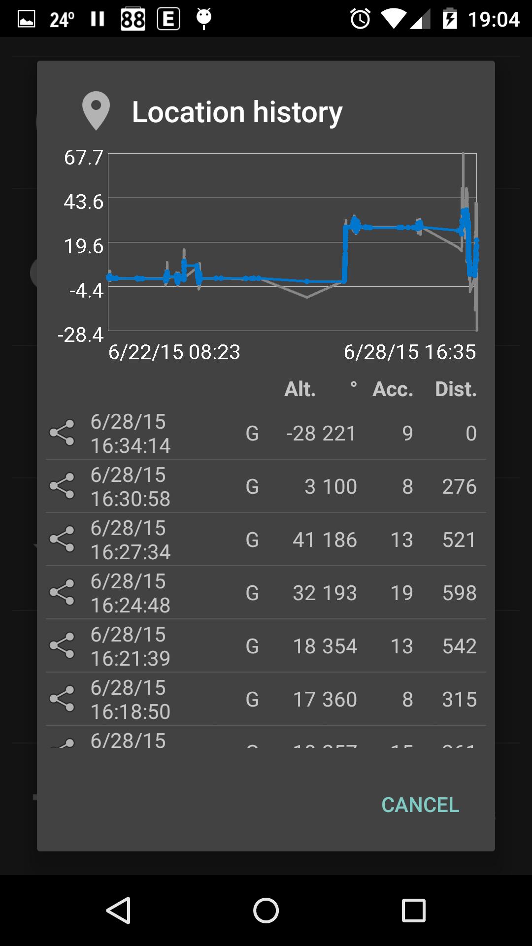
BackPackTrack II will also passively use locations requested by other applications, for example mapping applications. Passive locations will be recorded if the bearing changes by more than 30 degrees or if the altitude changes by more than 20 meter (both configurable).
Locations will be filtered based on distance from your last location and based on location accuracy. The default is to filter locations within 100 meter of the last location and locations with an accuracy of worse than 100 meter.
The altitude of GPS locations will be corrected using the EGM96 model, which can make a significant difference in some areas.
From the status bar notification you can make an extra trackpoint or a new waypoint. Waypoints will be automatically reverse geocoded if there is an internet connection, otherwise this can be done later using the waypoint editor.
You can export your location history as a GPX or KML file for visualization in another application. You could use OsmAnd or Google Earth for this purpose.
You can upload your location history to a WordPress weblog using a small WordPress plugin. You could use the Google Maps GPX Viewer plugin for visualization.
If you want to see the status of the GPS, you could use the application GPS Status & Toolbox.
As a bonus BackPackTrack includes:
- an activity history, so you can see when you were doing what
- a step counter which doesn't count false steps, because activity recognition will be used to count steps only while you are walking (your device needs to have a hardware step counter for this to work)
- tabular and graphical actual and historical weather information, including weather notification and rain warning
- hourly and daily weather forecasting for the last or a selected location
- search for Wikipedia articles around waypoints
- search for geonames around waypoints
- fetch elevation data from Google
BackPackTrack II is a complete rewrite of BackPackTrack, the first Android application I wrote in 2011.
See here for more information:
https://github.com/M66B/BackPackTrackII/
You can ask questions here:
http://forum.xda-developers.com/android/apps-games/app-backpacktrack-ii-t3123682
Phiên bản mới nhất
1.35Được tải lên bởi
Paing Thain Kha
Yêu cầu Android
Android 4.1+
Xếp hạng nội dung
Everyone
Báo cáo
Gắn cờ là không phù hợpLast updated on Apr 28, 2016
- Updated build tools and libraries
- Batched location updates
- Fixed step counter widget text size


APKPure - Kho ứng dụng đa nền tảng chủ yếu tập trung vào Android, cung cấp nội dung phong phú về ứng dụng. Khám phá ứng dụng bạn muốn dễ dàng, nhanh chóng và an toàn hơn, với tính năng tải xuống và cài đặt nhanh chóng và hiệu quả.