下載 APKPure App
可在安卓獲取CollineDaVivere Trails的歷史版本
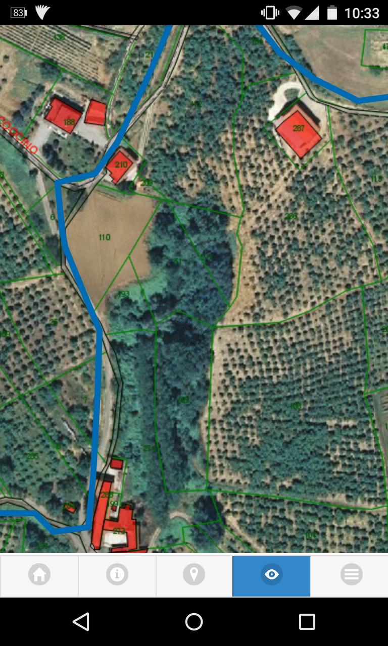
應用程序映射阿爾塔蘭加境內的導航。
Applicazione cartografica per la navigazione del territorio dell'Alta Langa con sentieristica e punti notevoli (POI) dislocati sul territorio. L'applicazione consente il tracciamento della posizione del dispoitivo e segnala la prossimità dei POILast updated on 2015年11月12日
Cartografia off-line


CollineDaVivere Trails
1.0.2 by Oikos Engineering
2015年11月12日