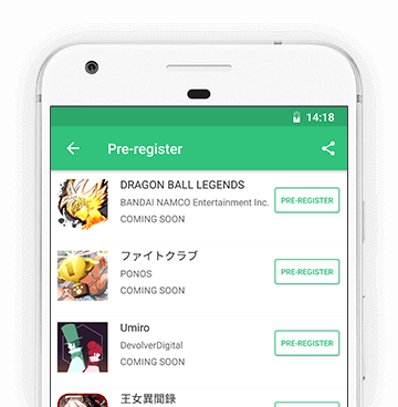
By clicking the Pre-register button you're about to pre-register for upcoming apps on APKPure Mobile App Store. Pre-registering means that you will receive a notification on your device when the app is released.

APKPure - A multi-platform app store primarily focused on Android, providing extensive app-related content. Discover the app you want easier, faster, and safer, with quick and efficient downloads and installations.