Use APKPure App
Get Mylakemap old version APK for Android
오프라인 호수와 강 수심지도
Bathymetric maps of Lithuanian lakes and rivers created using hydro-graphic survey and latest available technology.
One week free trial. One year subscription.
Application description
1. Offline bathymetric maps in 1m resolution.
2. Waypoint creating, saving and displaying functionality.
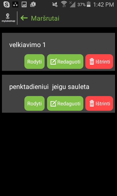
3. Route creating, saving and displaying functionality.
4. Track displaying and saving functionality.
5. North Up and Head Up map orientation.
6. Depth shading functionality.
7. Measuring tool.
8. Camera.
9. Waypoint, route, track sharing functionality.
10. Languages-Lithuanian, English.
Last updated on Feb 23, 2019
Bug fixes


Discover what you want easier, faster and safer.

Mylakemap
2.2.3 by Sagerta UAB
Aug 19, 2020