Scan Date:Apr 24, 2026
Show More
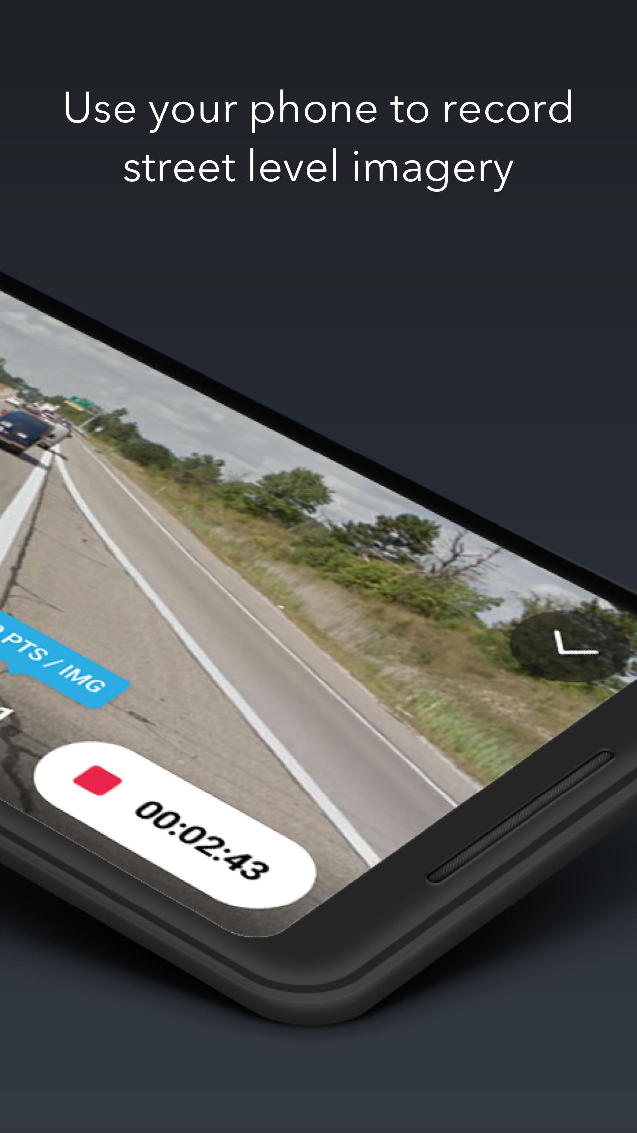
KartaView is a free and open platform for street level imagery. Anyone can contribute images with a smartphone and the open source apps.
After upload, KartaView will detect salient features from the uploaded images such as signs, lanes and road curvature. Using both new and familiar tools, anyone can then use these and other features gleaned from the images to improve OpenStreetMap.
Latest Version
6.7.0Uploaded by
حسوني العراقي
Requires Android
Android 6.0+
Category
Free Tools AppContent Rating
Everyone
Security Report
Report
Flag as inappropriateLast updated on Apr 24, 2026
GPS Trail overhaul: new trail / dots choice with user selectable color for both styles
Under the hood improvements to performance and minor stability tweaks


APKPure - A multi-platform app store primarily focused on Android, providing extensive app-related content. Discover the app you want easier, faster, and safer, with quick and efficient downloads and installations.


