APKPure Appを使用する
FOVEA Mapsの旧いバージョンをダウンロードすることが可能
GPSを使用して、手動または自動で地理的な距離と面積を測定します。
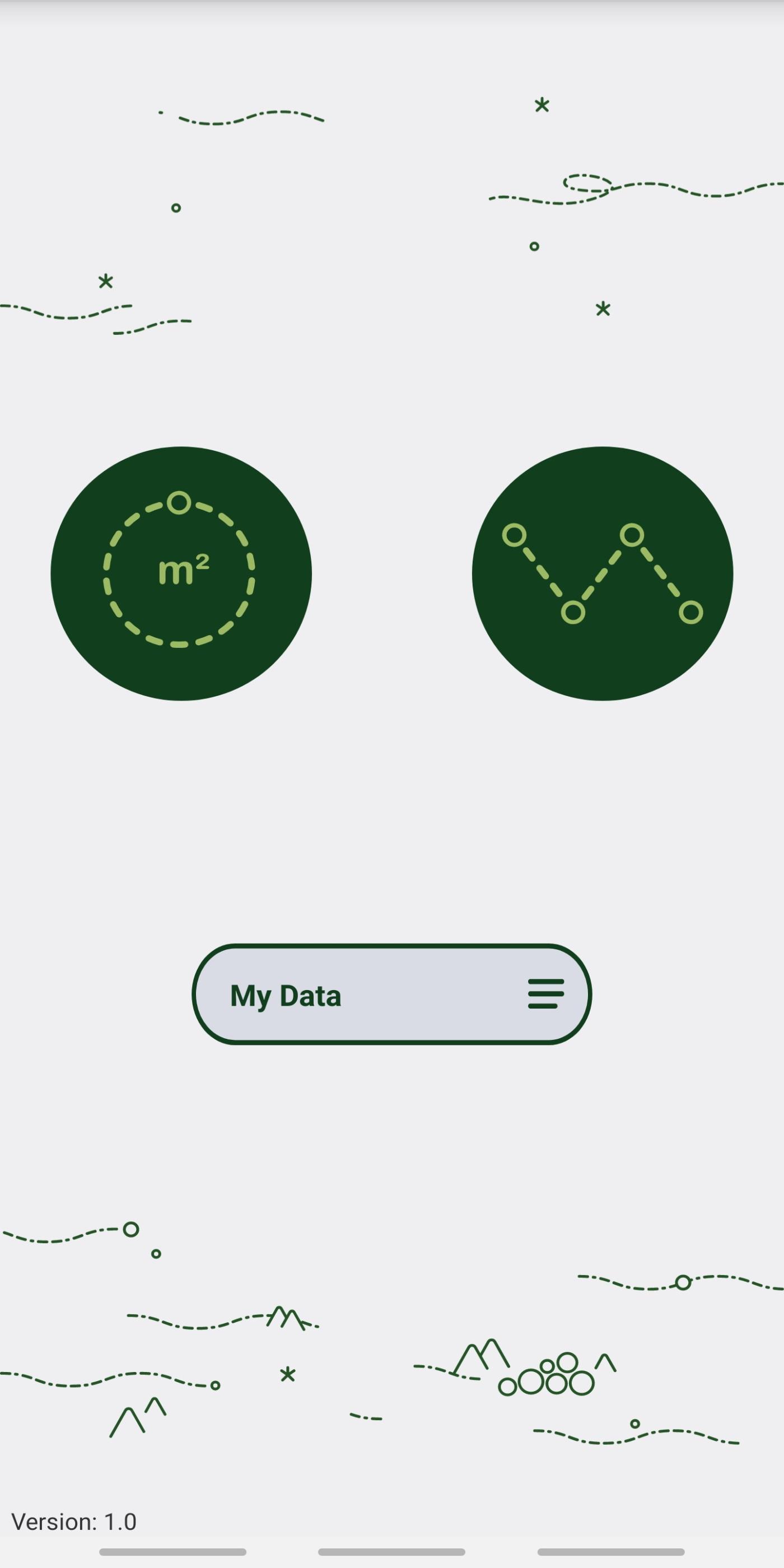
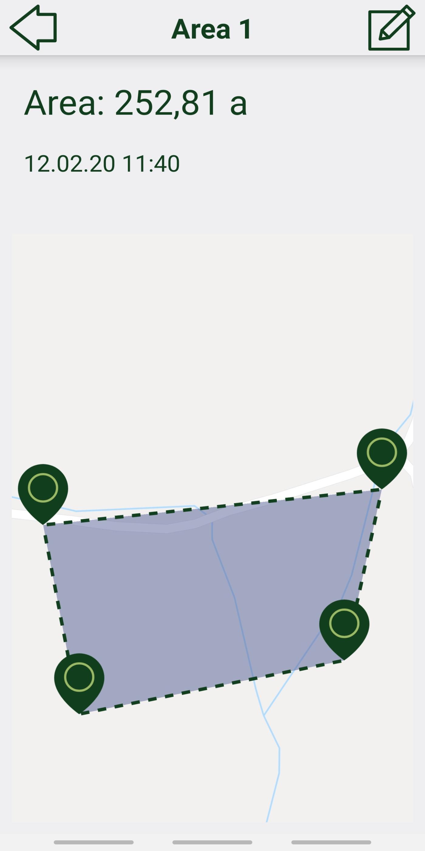
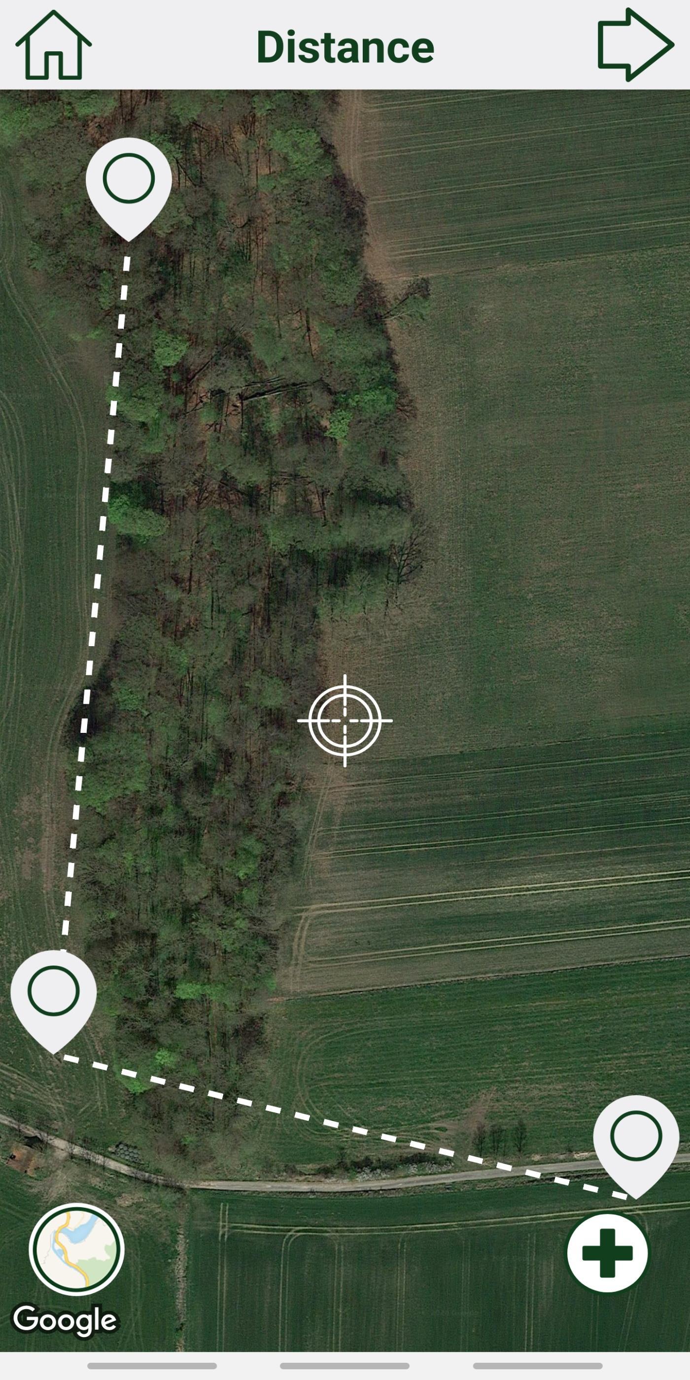
Use FOVEA Maps to measure geographical distances and areas manually or automatically via GPS.
Set markers manually or use the automatic mode to track your position via GPS while walking along the route. As well as a searchable list of all measured distances and areas, FOVEA Maps provides a KML export for your data.
Last updated on 2021年07月09日
App expiration date extended.
Various bug fixes.


Discover what you want easier, faster and safer.

FOVEA Maps
1.4 by FOVEA SDP GmbH
2021年07月09日