APKPure Appを使用する
Areaの旧いバージョンをダウンロードすることが可能
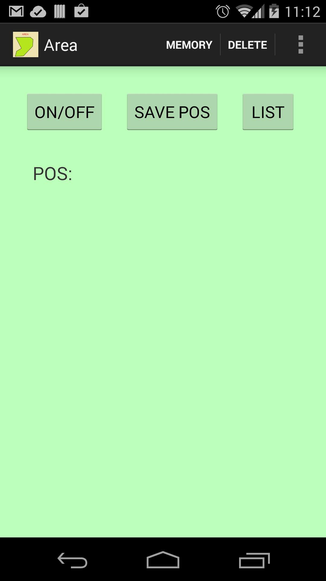
GPSと面積と設計平面を計算します。
AREA
You can get the area and plane of a polygon following each of its vertices and getting its positions with the GPS of a mobile device.
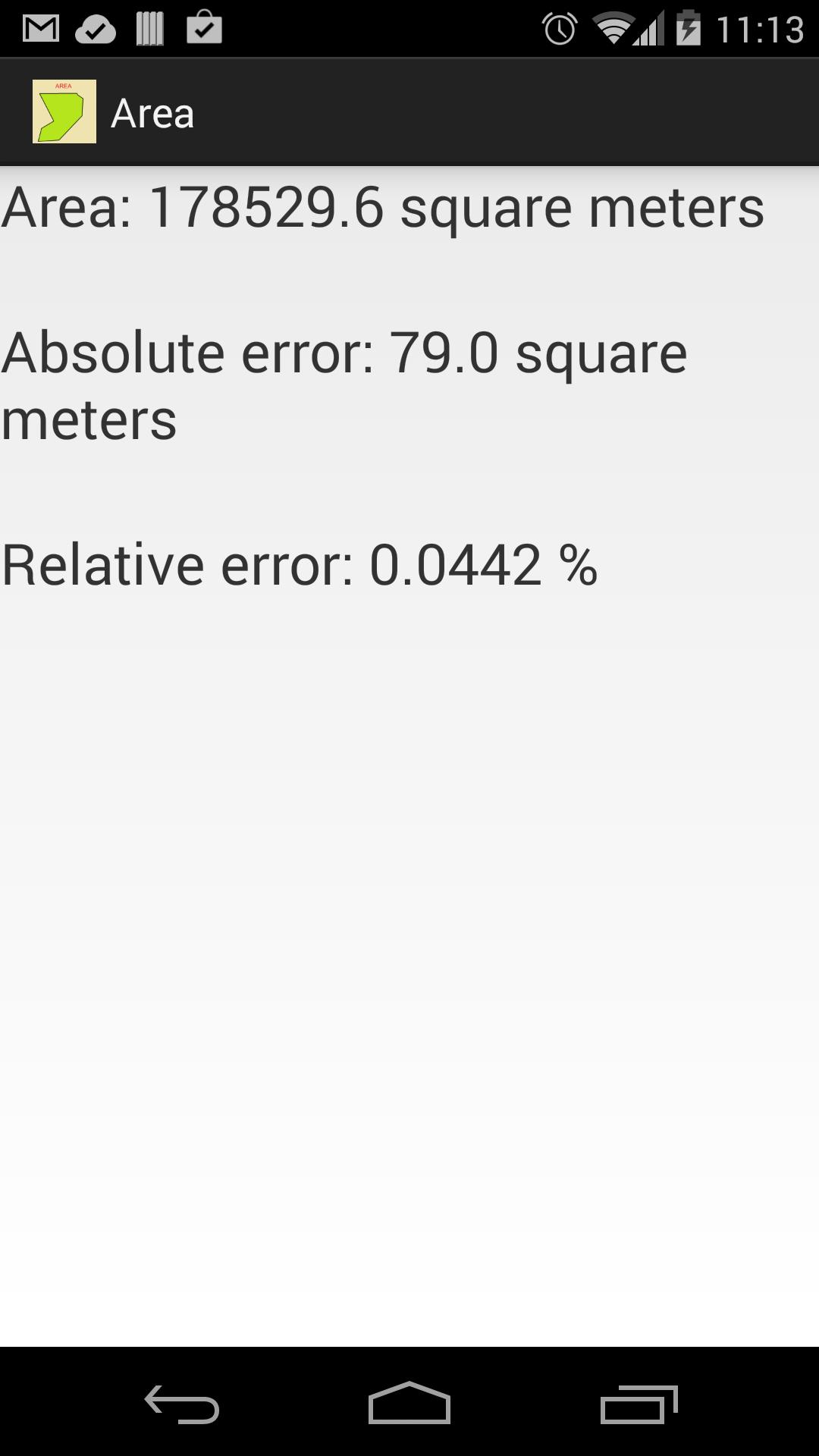
The application displays an estimation of absolute error and the relative error in the measurements.
Because GPS positions have an error, the application is not useful for measuring small areas.
The app is helpful for the estimation of:
- The areas of land in agricultural or forest crops.
- Land areas when there are not sight lines between vertices (You cannot use telemeters).
- Water areas on the sea.
In other cases, you should seriously consider the relative error in the measurements.
Interface improved: saved positions with feedback to user when there is an internet connexion.
Last updated on 2016年09月21日
- You can see the plane in google maps using MAP option.
- You can email a link to show the map using EMAIL option.
- The AUTHOR option shows you additional information about the author and his applications.
- Update required before October 15th, 2016 (Google Play platform change)


Discover what you want easier, faster and safer.

Area
4.2 by Antonio Luis Climent Albaladejo
2016年09月21日