Use APKPure App
Get goo防災マップ(避難所、公衆電話、公共施設等を地図表示) old version APK for Android
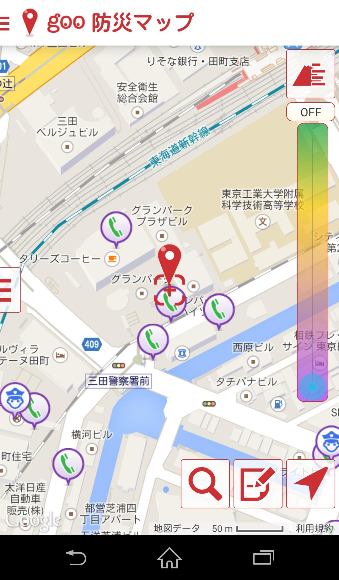
本アプリは、NTTレゾナントが提供する「goo防災マップ」です。避難所や公共施設、病院、公衆電話を地図上に表示します。goo防災アプリと連携してご使用頂けます。
”goo防災マップ”は、NTTレゾナントが提供する防災マップアプリです。
国土交通省が提供する避難所や公共施設、病院などのオープンデータ、ならびに、NTT東日本、NTT西日本が提供する公衆電話データを地図上に表示します。
その他、地図の中心から周辺約3kmを端末に予め保存することができ、電波状況がオフラインの時でも保存した範囲の地図を利用することができます。
また、地図上に表示された避難所や各施設、公衆電話等の情報は、その場所の標高データに応じ表示を切り替えることができます。その他、避難訓練時の避難ルート検索や避難訓練時の足取りやメモ書きを保存できる機能などがあります。
Last updated on Apr 5, 2021
【Ver.1.2.3】2021/4/2
・軽微な修正を実施しました。
※セキュリティーおよびAndroidの節電仕様変更への対応のため、Ver. 1.2.3をもちまして、Android7未満のサポートを終了いたします。
Latest Version
![]() 1.2.3
1.2.3
Uploaded by
នាគខ្មៅ ឆ្លងដែន
Requires Android
Android 5.0+
Category
Report


Discover what you want easier, faster and safer.

goo防災マップ(避難所、公衆電話、公共施設等を地図表示)
1.2.3 by NTT Resonant Inc.
Apr 5, 2021