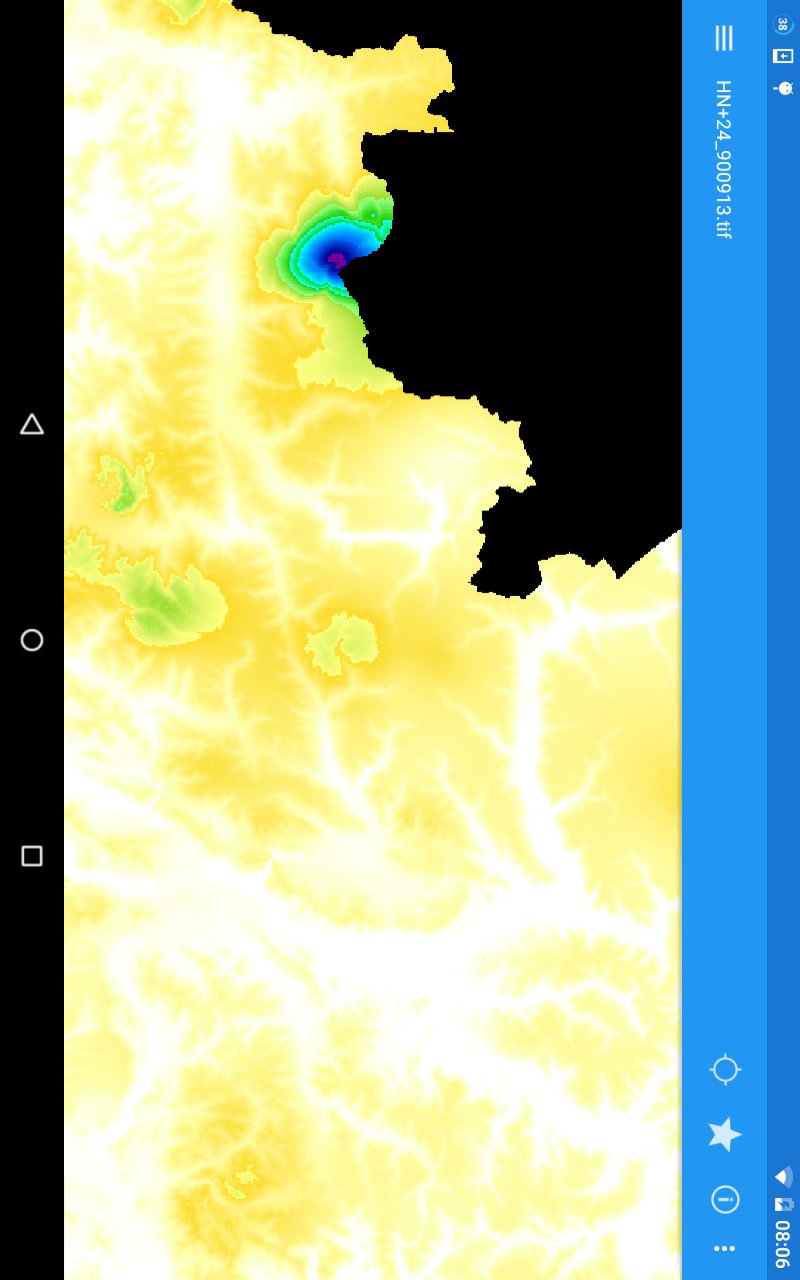
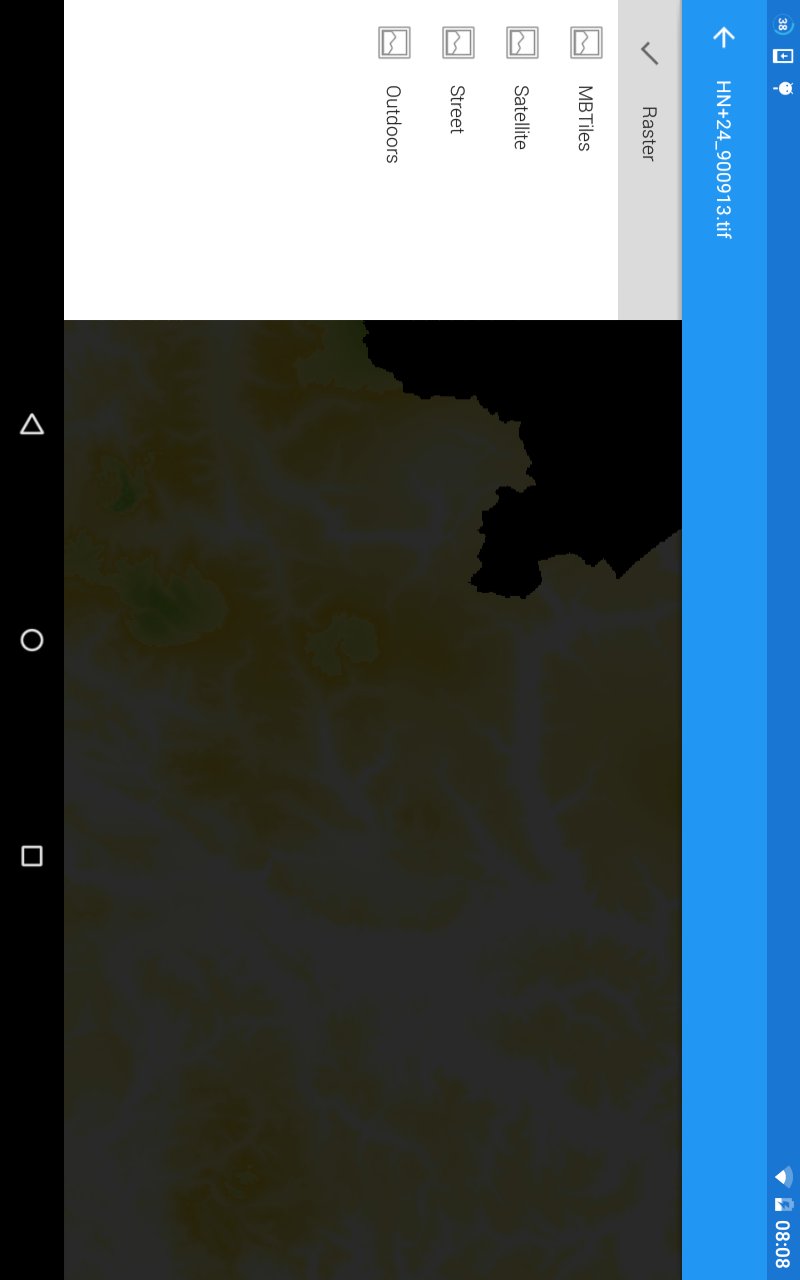
GeoTiff Maps and other raster files, which contain a coordinate reference system can be visualized with this app.
In addition to various raster formats, there is also support for the MBTiles format.
The app queries the Android media store for existing appropriate files and presents a list of results. If your desired file is not found, you can browse to it manually.
Your can determine your position on the map if it is covered by the file.
The app is limited to display files up to 10 MB. To view larger files, the functionality must be purchased.
Latest Version
0.4.2Uploaded by
Carlos Mendes
Requires Android
Android 4.0+
Category
Free Maps & Navigation AppContent Rating
Everyone
Report
Flag as inappropriateLast updated on Mar 28, 2017
0.4.2
- improvements and bug fixes





APKPure - A multi-platform app store primarily focused on Android, providing extensive app-related content. Discover the app you want easier, faster, and safer, with quick and efficient downloads and installations.