Scan Date:May 7, 2026
Show More
Get a powerful wildfire activity tracking map with fire alerts and near real-time tracking of fire locations and progression.
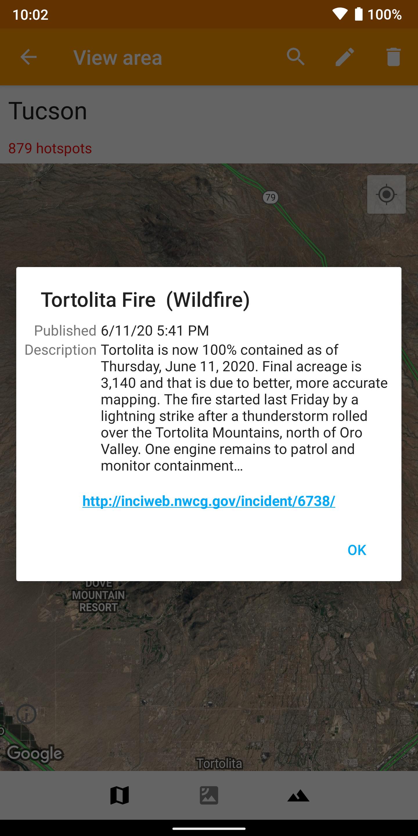
See details of fire activity overlaid on a single map:
• Hotspots identified by satellite-based sensors
• US & Canada wildfire incident reports
• Wildfire burned area boundaries
• Crowdsourced fire report markers
• NOAA smoke areas
• Cal Fire incident detail
• Fire weather risk areas
• Fire cameras
Who can benefit from this app?
• Anyone living or working in wildfire-prone areas
• People who may want to alert family members in remote or high-risk areas
• Anyone interested in emergency preparedness and wildfire risk reduction
No login or registration required.
QUICK START: Open app and tap on "Fires near me"
Ad-supported. If you like the app, please consider upgrading with a one-time purchase to unlock bonus features, disable advertising, and support future development.
Latest Version
10.0.8Uploaded by
Rafael AK
Requires Android
Android 7.0+
Category
Free Weather AppContent Rating
Everyone
Security Report
Report
Flag as inappropriateLast updated on May 7, 2026
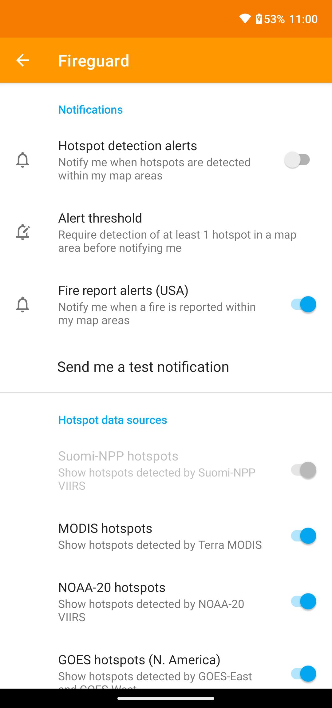
New wind visualization layer.


APKPure - A multi-platform app store primarily focused on Android, providing extensive app-related content. Discover the app you want easier, faster, and safer, with quick and efficient downloads and installations.


