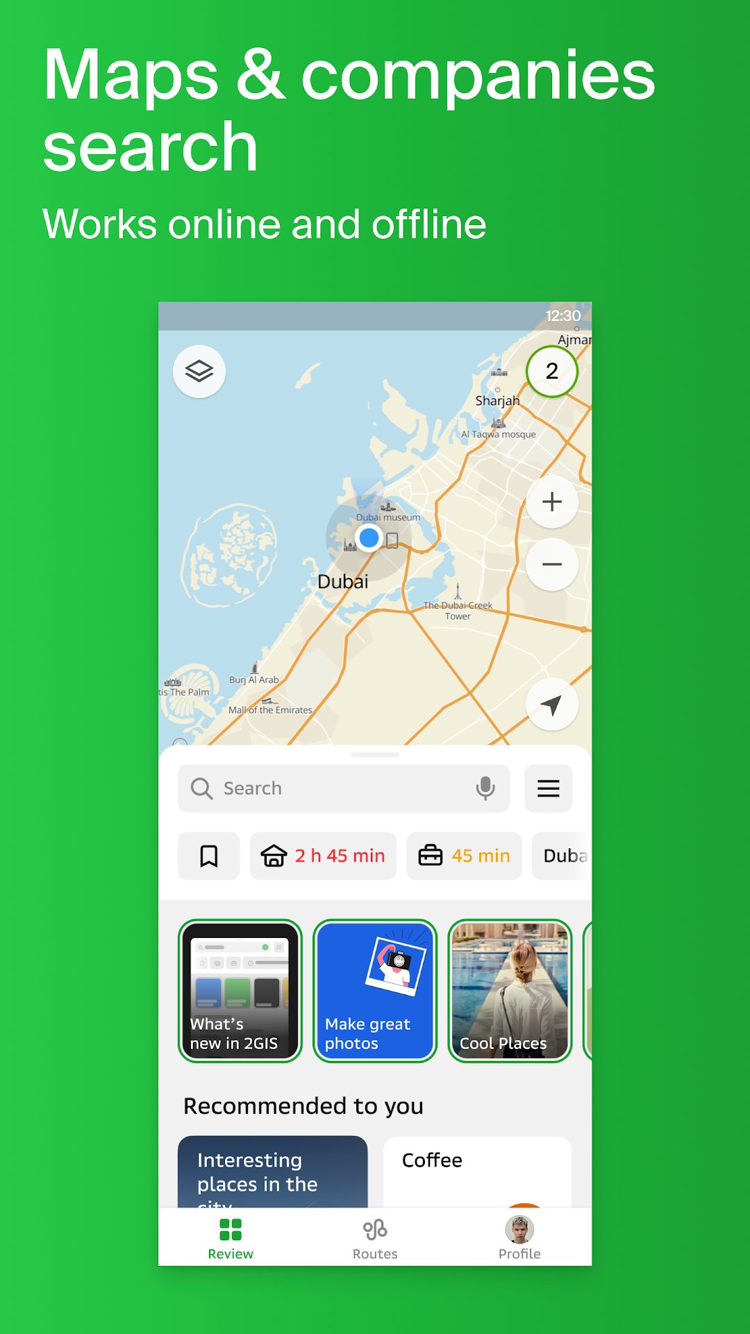
In Double GIS, you'll find a map and GPS navigation. You can use the app on a plane, in the subway, or when roaming without an Internet connection.
Addresses, companies, and services
GIS knows which providers are available in your area, such as the district hospital or post office. Review and photo information will help you choose a cafe or service center. Opening hours and telephone numbers are also available.
Navigation with GPS when offline
The voice instructions provided by Double GIS will assist you while driving and warn you about maneuvers to avoid. Taking traffic jams into account. If you deviate from the route, we'll update it. The parking lot locator will assist you in finding a parking space.
Entrances to buildings
Doublegis will help you find the business center entrance that you need without having to look for it. The app contains information about 2.5 million companies' entrances. Double GIS will show you the way to the exact door, whether you are using public transport or a car.
Shopping mall plans
Navigating inside the mall is made easier with GIS. From shops to cafés, groceries to ATMs, everything is displayed. Save time by finding places in advance.
Public transport
With Doublegis, you can not only find directions for your car, but also for public transportation. It provides online timetables and routes for public transport, including buses, trolleybuses, minibuses, and trams. On the map, you can see real-time where the bus is and when it is due to arrive. On your smartphone, you can access a portable map of city buses! Furthermore, you can use Double GIS to compare taxi prices and find the nearest metro exit.
Navigating by foot
You can use the navigator anywhere you can walk. It lists options for public transportation such as buses, the metro, trains, cable cars, and river trams.
Travel guide
We have detailed guides to many cities across Russia, Kazakhstan and the United Arab Emirates. Find out what the main attractions are at your location, or where you can get WiFi, or find cafes, bars, restaurants, grocery stores, and malls. Would you like to know what the best route is to Moscow or Dubai? Your travels will be easier with GIS travel navigator. It doesn't matter whether you travel by car or by foot.
Latest Version
1.0Requires Android
7.0
Category
Free Maps & Navigation AppContent Rating
Everyone
Report
Flag as inappropriateLast updated on Jan 18, 2024
Minor bug fixes and improvements. Install or update to the newest version to check it out!


APKPure - A multi-platform app store primarily focused on Android, providing extensive app-related content. Discover the app you want easier, faster, and safer, with quick and efficient downloads and installations.


