
Deesha supports users who travel or work in remote areas where networks are unreliable. It uses your device’s location sensor to show position and guide movement without internet, which suits field tasks and off road routes. You can plan trips, record points, and view maps while keeping data local. Moreover, it is designed for both Indian and global coordinate workflows to fit common mapping practices. For a dependable offline setup, the Deesha APK offers straightforward tools for everyday use.
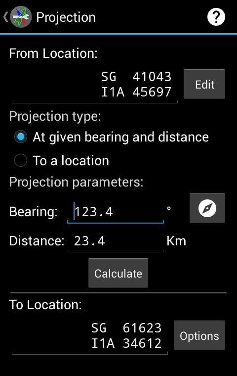
Grid and coordinate formats
Deesha displays location in Indian Grid System with all zones, MGRS, UTM and UPS, GEOREF, and standard geodetic latitude and longitude in multiple notations. Correct datums are applied automatically, using Indian datum for the Indian Grid System and WGS84 for other formats. After you download Deesha, these formats remain available offline.
Offline maps, overlay, and positioning
Use a map view with panning and zooming to see your position, device waypoints, and a grid overlay. PNG and JPEG map images can be configured for offline viewing. Optional Google Maps layers are supported via the separate internet extension when needed. By default, the app runs fully offline, and network access only improves time to first fix on A-GPS devices.
Waypoints, navigation, and sharing
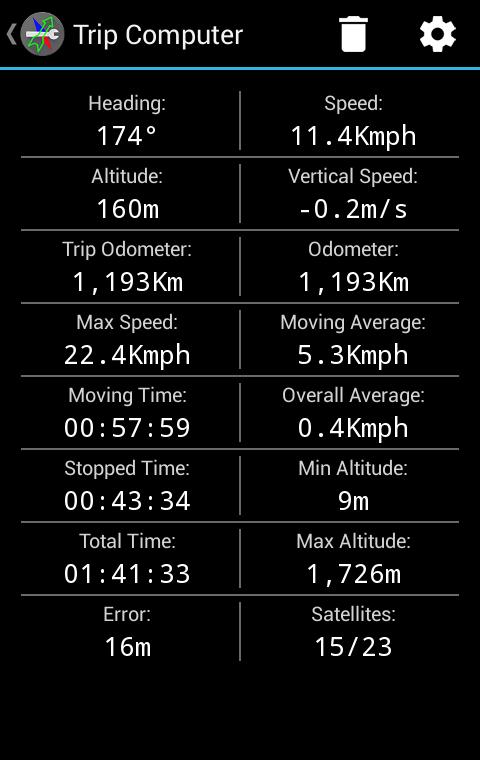
Field tools and GNSS
Deesha focuses on accurate coordinates, practical map tools, and reliable operation without network access. To begin, install the Deesha latest version and grant location permission on your device. After setup, the app is ready for field work and off road travel.
Latest Version
2.4Uploaded by
Stark IU
Requires Android
Android 2.0.1+
Category
Free Tools AppContent Rating
Everyone
Report
Flag as inappropriateLast updated on Nov 22, 2017
• Fixed: Incorrect suggestion of Indian Grid Zone 1A instead of Zone 2A above 28°N.
• Fixed: Opening of files (CSV/GPX/JPEG/KML/KMZ) in Nougat and above.
• Fixed: Time selection in Sun Moon Information in Nougat and above.
• Updated: Links to website and method of joining Mailing list.
• Corrections and improvements.
• Multiple bug fixes.


APKPure - A multi-platform app store primarily focused on Android, providing extensive app-related content. Discover the app you want easier, faster, and safer, with quick and efficient downloads and installations.


