下载 APKPure App
可在安卓获取Norfolk Broads Tourist Map的历史版本
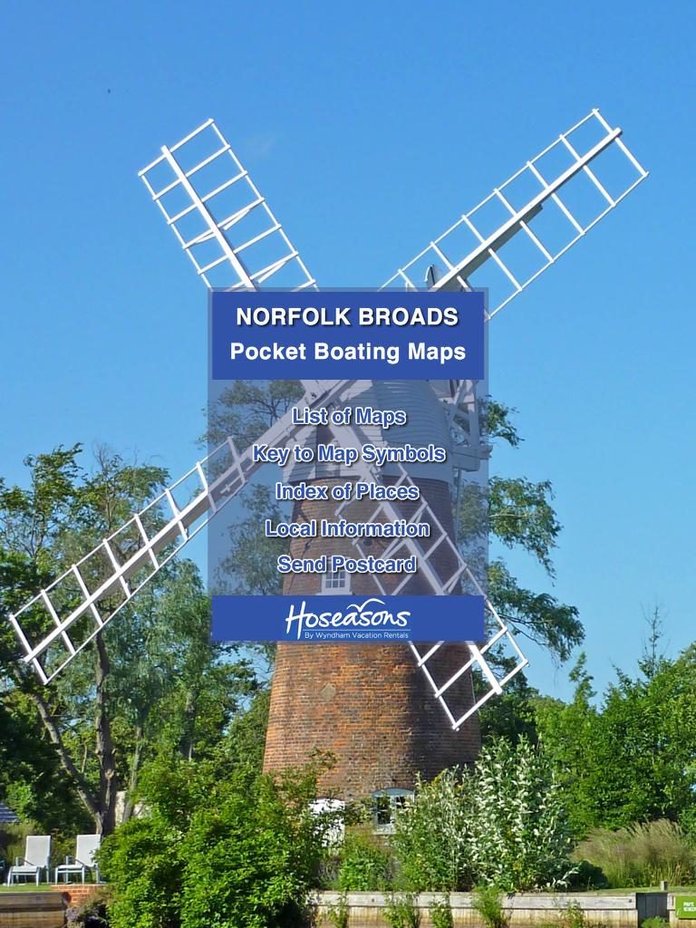
离线诺福克湖区旅游地图
A complete offline tourist map of the Norfolk and Suffolk Broads. Useful for boating, walking, cycling, canoeing, sailing and more.
This FREE App includes:
* Regional map of South Norfolk and North Suffolk.
* Map of the Northern Rivers (Bure, Ant and Thurne), including Wroxham, Hoveton, Horning, Stalham, Ranworth, Ludham, Potter Heigham, Martham, Hickling, Acle, Great Yarmouth.
* Map of the Southern Rivers (Yare, Waveney, and Chet), including Norwich, Reedham, Whitlingham, Brundall, Loddon, Oulton Broad, Beccles.
* A to Z index of popular tourist places and attractions.
Maps include many tourist features including boat moorings, shops, pubs, windmills, churches, campsites, tourist attractions, nature reserves etc.
Location feature, that uses GPS to track your location on the maps.
NEW - Tap hotspots of popular places to see more information, including opening times, prices and phone number.
The entire app runs offline, which is handy on the Broads as mobile signals are poor :)
App produced in association with Hoseasons.
Last updated on 2015年08月01日
Improved display on tablets.
Updated features to the northern map - shops, pubs, moorings etc
Additional features to the southern map - moorings, footpaths, shops, pubs etc.
Hotspots of tourist attractions, updated for 2013.
Display of approximate speed on location tracking screen (ideal for boating).
Various other improvements and fixes.


Norfolk Broads Tourist Map
2014.3 by Pocket Places
2015年08月01日