Use APKPure App
Get Bentley Map Mobile old version APK for Android
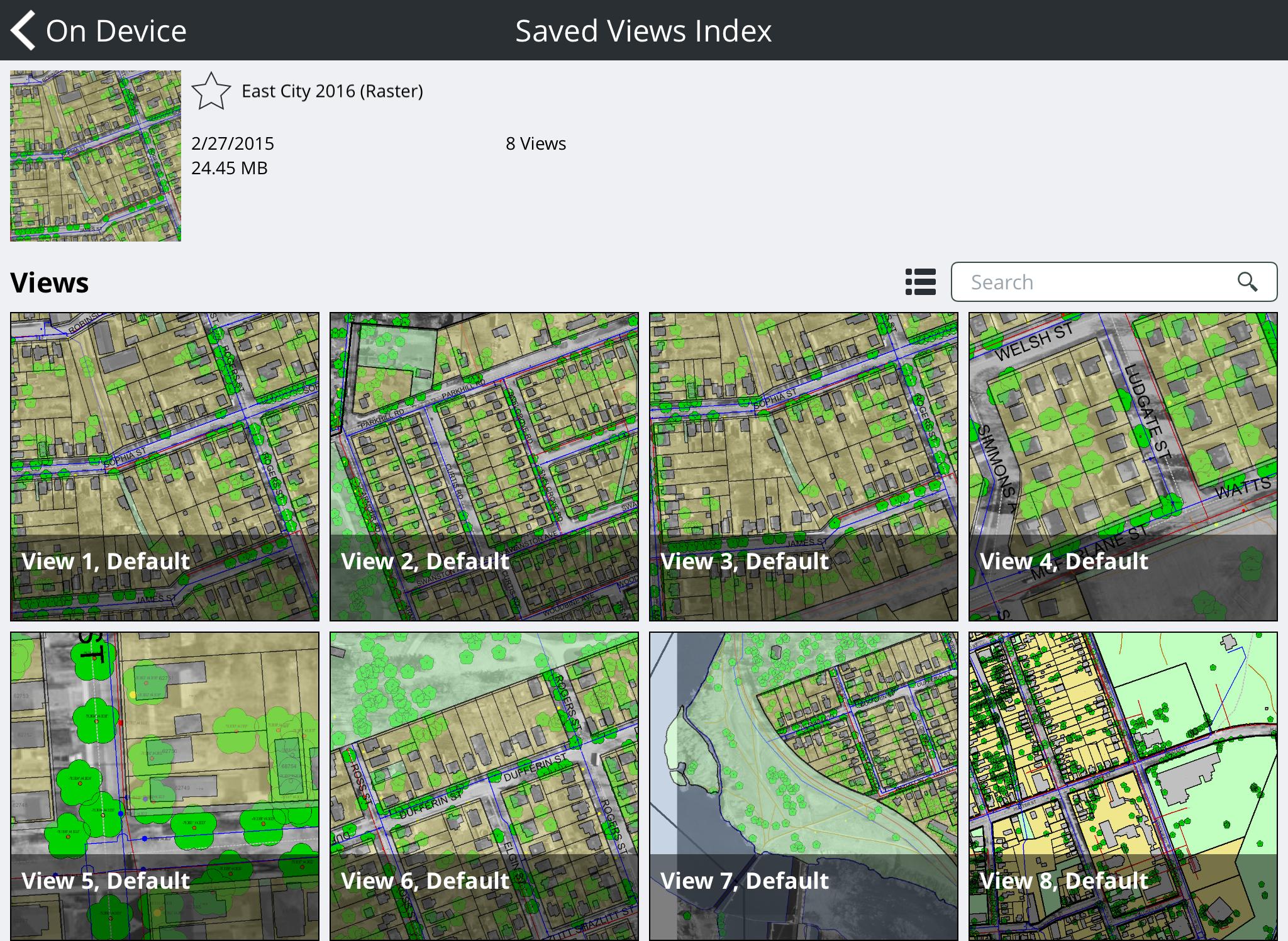
Review, search and redline 2D maps and 3D infrastructure asset models.
Bentley Map Mobile provides powerful 2D/3D vector and raster viewing along with redlining and mark-up capabilities. It provides fast, efficient access to infrastructure data sets for field personnel of all types, including engineers, inspectors, maintenance crews, construction personnel and others. With Bentley Map Mobile, field workers can be kept up to date with the latest infrastructure data, reducing errors and improving service outcomes.
Bentley Map Mobile supports a simple interface using common gestures such as pinch to zoom, swipe to drag, and touch to select. The business properties of all mapping features are available for review. Users can quickly locate features using a free-text search function, and, once found, the selected feature is automatically zoomed to the view. The app is GPS-enabled, which simplifies the location of infrastructure in the field. If a network connection is available, an interface to Google Maps can provide driving directions to the selected feature. The view display can be simplified by toggling features off and on, and a list of features in the current view can be quickly generated for active review.
Bentley Map Mobile requires the use of Bentley Map Mobile Publisher to create next generation i-models from MicroStation, Bentley Map, Bentley Map Enterprise and other Bentley geospatial desktop products.
• Redlining - Users can create and manage one or more redline layers that can consist of vector based freehand sketches, simple geometries (e.g. circles, shapes, lines, arrows, clouds etc…), text annotation, symbols along with photo and video attachments. In Bentley Map Mobile one or more redline layers can be selected and packaged into a single .markupdb file then sent via e-mail, uploaded through Web Services Gateway to a ProjectWise repository or uploaded to your Bentley CONNECT Personal Share area for use in a Bentley Map desktop session.
• ProjectWise Support - Bentley Map Mobile can connect directly to ProjectWise repositories through Web Services Gateway to download/upload Bentley Map Mobile i-models and redline data.
• Bentley CONNECT Support - The recent Bentley Map Mobile Publisher commercial release was updated to allow users to upload Bentley Map Mobile i-models directly to their Bentley CONNECT Personal Share area. In addition, Bentley Map Mobile users can now upload redline data directly to their Bentley CONNECT Personal Share area, for download and use in Bentley Map desktop workflows.
• 3D Support – Users working with 3D design files can now use Bentley Map Mobile Publisher to publish 3D i-models for Bentley Map Mobile use, leveraging the tablets gyroscope to visualize or walk through the model.
• View Rotation - Users can zoom and optionally rotate map views using simple 2 finger gestures. A “Compass” icon appears after view rotation that when tapped will rotate the view back to 0 degrees’ rotation.
• Device Orientation Tracking - A GPS tracking mode has been added that will automatically orient the map view using the physical orientation of the device.
• URL Hyperlinks - Any business properties that contain either http or https formatted URL addresses appear as clickable hyperlinks.
• File Selection User Interface - A simple user interface provides new “Favorites”, “Recent”, “Browse” and “Connect Server” capabilities. Please note that the “Open > On Computer” lists i-models located in the users “Documents” folder. The “Favorites > Add Folder” command can be used to select additional locations that contain Bentley Map Mobile i-models.
• Background Color Override – A setting that allows users to override the published background color of the map to adjust display contrast under various lighting conditions.
• Full Text Search Index – To further improve Bentley Map Mobile search performance of MicroStation text, Bentley Map Mobile now uses a full text search index generated by Bentley Map Mobile Publisher.
Last updated on Oct 16, 2018
Bug fixes.
Latest Version
![]() 05.05.08.06
05.05.08.06
Uploaded by
Ragiv Molla
Requires Android
Android 4.1+
Category
Report


Discover what you want easier, faster and safer.

Bentley Map Mobile
05.05.08.06 by Bentley Systems Incorporated
Oct 16, 2018